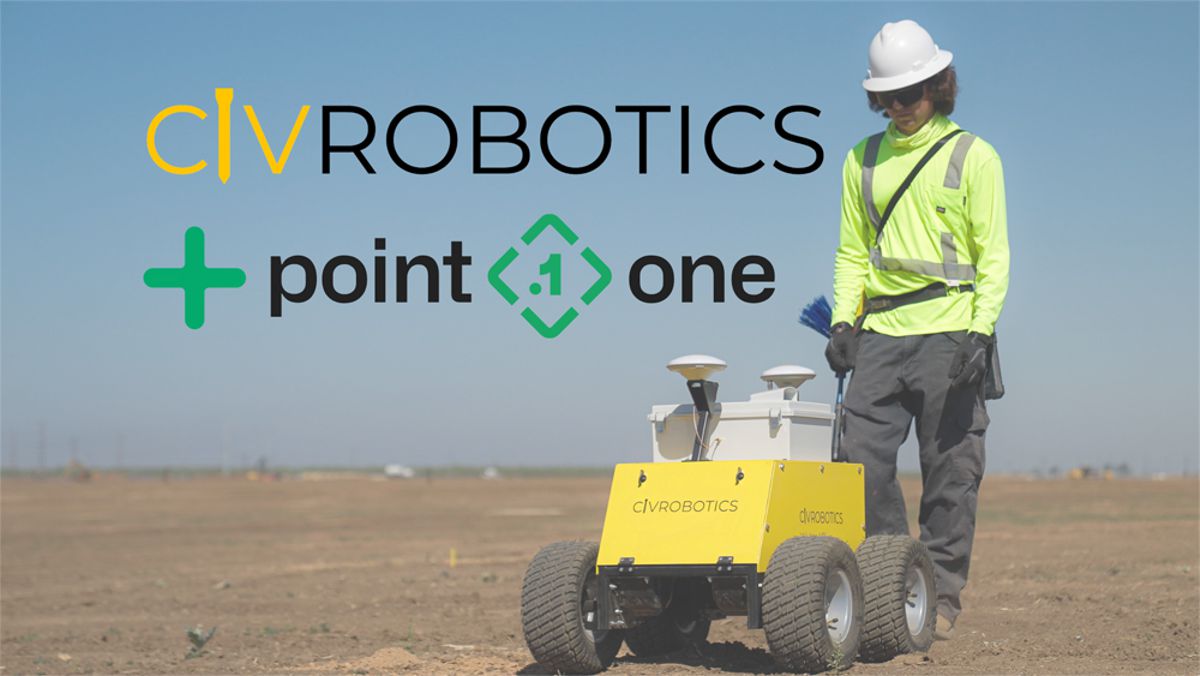
Civ Robotics teams up with Point One Navigation for high-tech Land Surveying
Managing a construction project from planning stage to execution in the real world is replete with challenges. Whether a company is building a sprawling solar farm or laying lines on the road, precision is paramount. Errors of just a few inches can have massive implications that can lead to critical delays and cost overruns.
In this new case study, Civ Robotics explains how Point One’s Polaris RTK precision technology has been instrumental in lowering their operating costs and streamlining processes for many of its high-precision layout projects.
Land surveying is a critical stage in the construction layout process, during which workers use various forms of global navigation satellite systems (GNSS) to mark specific locations for builders. Because this process demands a high degree of precision, all GNSS readings must be validated and corrected to ensure accuracy, sometimes within even a few centimetres.
Historically, this work of verification and layout marking has been done by highly skilled workers manually carrying GPS tools to mark each construction spot, but Civ Robotics is out to change that by using precision layout robots that anyone can operate.
Leveraging Polaris Real-Time Kinematics Network (RTK), Civ’s robot rovers can translate construction plans to real-world layout markings that are accurate to within less than a centimetre — and do it with speed.
Civ was able to plug-and-go with Polaris RTK, without the hassle of having to set up and calibrate expensive base stations. Liav Muler, the co-founder and chief operating officer of Civ Robotics, said: “It’s easy. It’s always working. There are no problems.”
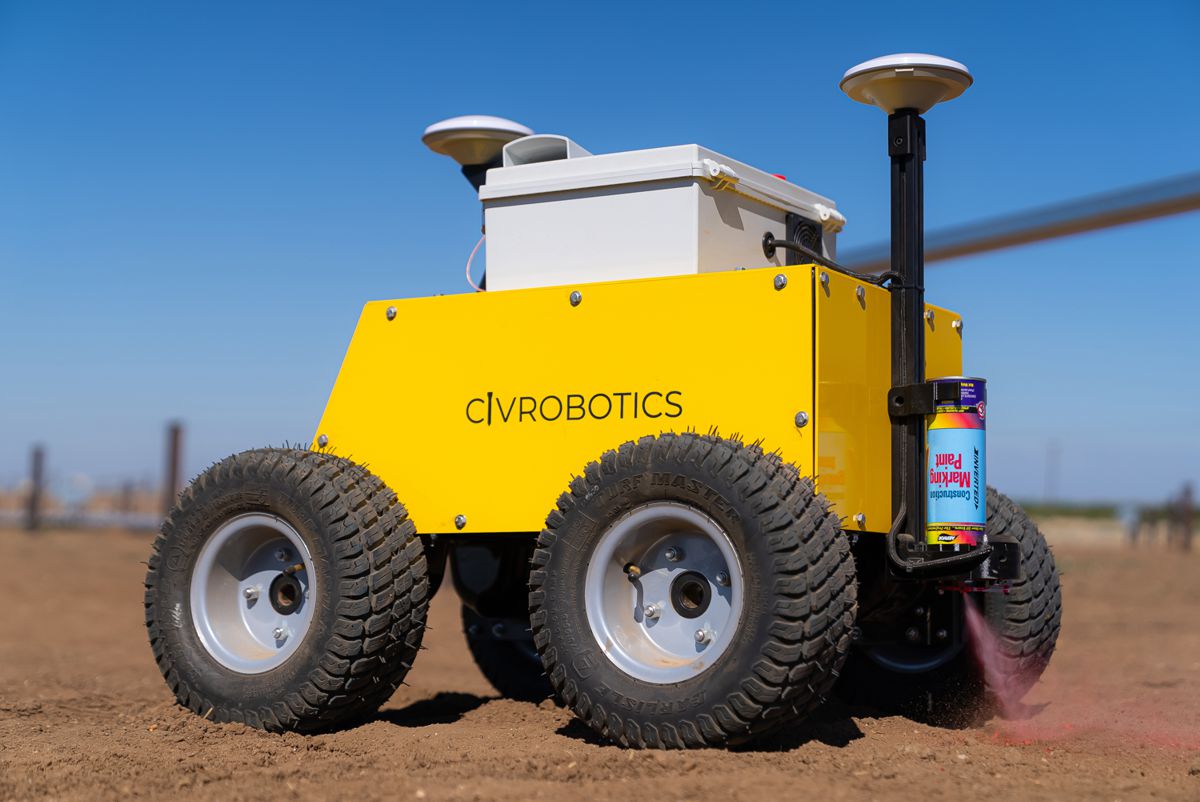
Where traditional surveyors could mark 200–450 coordinates per day, Civ operators can mark anywhere from 1,200–3,000 points in the same period!
“I think saving money and the simplicity of the product is a big benefit here,” said Muler. “Wherever I need an NTRIP (Networked Transport of RTCM via Internet Protocol), Point One is my go-to.”
Since bringing its products to market in 2021, Civ Robotics has expedited the land surveying process for dozens of clients in the industry, from solar farms to road construction companies.