Exodigo and Esri partner to Improve Underground Mapping
Exodigo, the breakthrough non-invasive subsurface imaging platform, announced a partnership today with Esri, the world leader in Geographic Information System (GIS) software, web GIS and geodatabase management applications, that will help governments and businesses accelerate the delivery of capital projects and de-risk underground operations at scale.
While traditional methods of underground mapping draw conclusions based on one or two types of sensors and visual hints, Exodigo is the first company to employ multi-sensor fusion and process the varied signals with artificial intelligence (AI) into a single source of truth.
The density and speed of data collection and processing enables Exodigo to identify more buried assets than other subsurface locating and surveying methods – finding 20-50 percent more utilities than alternatives, according to analysis from the Common Ground Alliance (CGA) Technology Advancements and Gaps in Underground Safety 2022 report.
Esri ArcGIS users can now integrate Exodigo’s imaging and underlying data into existing underground utility maps to ensure that undocumented utilities are identified and even slight curves in utility paths can be visualized accurately.
Esri empowers Exodigo to create live maps that can be reprocessed and improved over time. The client portal enables secure access to its proprietary maps that are updated based on the continuous improvement of the Exodigo imaging and algorithmic capabilities.
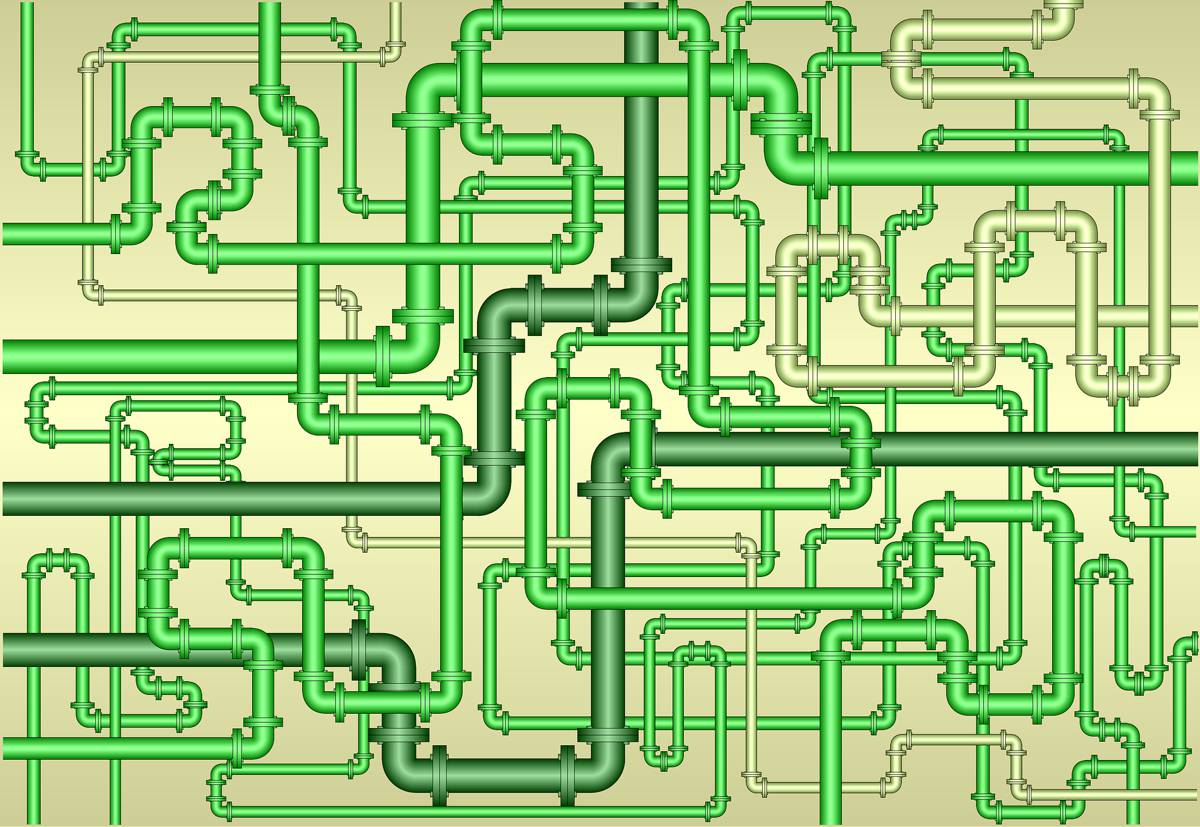
Exodigo’s multi-sensing platform generates enormous amounts of data that are processed and delivered in easy-to-understand layers, including:
- A green corridor polygon representing a utility-free right of way for safe design
- A utility layer showing line identities with high precision and accuracy
- An above ground utility assets layer (such as manholes, hydrants, etc.)
- An underground soil layer that highlights areas of possible ground distortion
- An optional layer adding available records in digital format
This technology partnership turns existing “as-builts” into verified “as-is” digital models of the underground at the precision required for asset management and downstream planning, design, and construction.
“Exodigo solves the underground challenge with subsurface maps you can trust,” said Jeremy Suard, CEO and Co-Founder of Exodigo. “With this new partnership, ArcGIS users can access the complete picture of the underground with Exodigo on the Esri system in the exact digital format they need.”
Exodigo has developed commercial underground operations with 20+ leading owners of large capital projects across the energy, utilities, and transportation sectors in the United States, Europe, and Israel.