Farmers and Ranchers reap benefits of EarthOptics SoilMapper Platform
EarthOptics, a next-generation soil mapping and measurement company, announced today it has mapped and physically measured one million acres of farmland and ranch land.
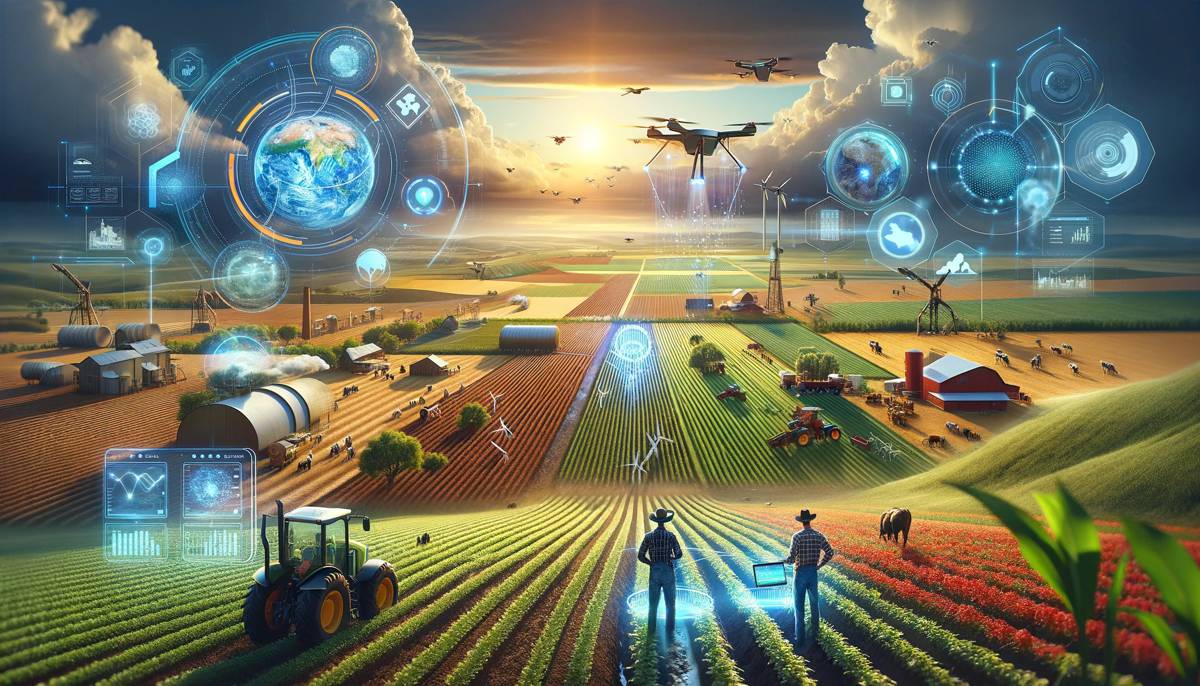
The important milestone places the company and its SoilMapper™ platform in the top market position, demonstrating a growing demand amongst farmers and ranchers for comprehensive soil intelligence.
Since 2021, the company has measured and mapped land across four continents and 45 U.S. states, at a current rate of 10,000 physical soil samples a day and 100,000 acres measured and mapped each month. EarthOptics is also the number one carbon measurement company for grassland and rangeland acreage, with 300,000 tons of sequestered carbon tallied to date.
As the company swiftly scales its SoilMapper™ platform, it is significantly advancing regenerative agriculture practices with comprehensive soil data driving better decisions on tillage, fertilizer, planting, and soil treatments. The platform enables land owners to drive down operational costs and nurture the land sustainably while simultaneously increasing carbon capture.
“EarthOptics has become a trusted partner for Grassroots Carbon. Their expertise in rigorous deep soil sampling and best-in-class measurement protocols enables us to verify and certify high-quality soil carbon drawdown credits on behalf of our network of U.S. ranchers. Together with trusted partners like EarthOptics, we are helping reward ranchers for their regenerative soil health practices by generating measured and verified soil carbon credits that meet the rigorous requirements of our leading corporate carbon credit buyers,” said Brad Tipper, CEO of Grassroots Carbon.
The company’s proprietary platform combined with ground truth soil samples, is training its artificial intelligence to read key soil attributes – nutrient levels, ground compaction, carbon content, and moisture – accurately and quickly. The data signalled from ground penetrating radar combined with electromagnetic induction scanning is analysed alongside physical soil samples, giving growers actionable insights into the physical characteristics of their soil. The insights from SoilMapper™ lead to better decisions on regenerative land practices – through precise data for tillage zones and depth, guidance for variable-rate fertilizer applications, grazing plans, crop rotations, and opportunities for boosting carbon capture.
CEO Lars Dyrud said: “Our vision for next generation soil data integrates physical samples with multi-sensor data, enabling farmers and ranchers to make their operations more efficient, sustainable, and profitable.”
Because the company has covered so many acres, it has learned to execute efficiently across diverse landscapes, often in remote grazing terrain across varying elevations. The efficiency improvements result in better accuracy and value to customers. Plus the soil scans covering more than a million acres have been verified with physical samples–both feeding EarthOptics’ machine learning system and constantly improving the accuracy of its automated intelligence.
Together, this drives down customer cost as EarthOptics is able to glean comprehensive soil insights with significantly fewer samples. Already the company has been able to reduce the number of physical samples taken by a factor of five.
GroundOwl™
Multi-modal, electromagnetic soil density measurement system designed specifically for agricultural applications, and capturing soil data at a rate of 16 data points per second.
SoilMapper™ Platform
Proprietary data visualization interface allowing customers to view their soil data in custom easy-to-use high resolution field maps delivering insights on tillage, carbon, and key soil nutrients.
TillMapper™
Flagship mapping system measuring agricultural compaction, informing custom tillage prescriptions when combined with SoilMapper™ interface
CMapper™
High-resolution carbon and organic content mapping system utilizing patented technology for fusing in-situ measurements with remote sensor data and machine learning
NutrientMapper™
Precise elemental analysis and soil health measurement system delivering nutrient and micro-nutrient soil profiles on attributes like potassium, pH, nitrogen, and phosphorus.
EarthOptics Soil Cloud
Growing database of physical, chemical, and biological soil data collected from EarthOptics technologies. Produces insights for calibrating compaction measurements and soil similarities between growing regions, informing best practices for cross-field analytics.