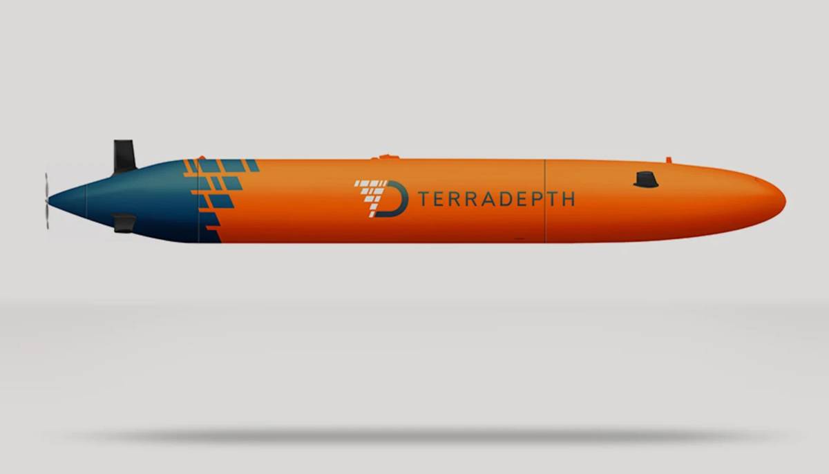
Terradepth launches Ocean Data-as-a-Service Platform to Map the Oceans
Terradepth, the world’s end-to-end ocean data system, announced the launch of Absolute Ocean today. AO is the company’s new cloud-based, browser-accessible ocean data management platform.
The platform offers the ability to simultaneously manage existing customer-owned datasets and access subscription-based Terradepth data.
Absolute Ocean supports an array of geospatial data types, including side-scan sonar, synthetic-aperture sonar, multi-beam bathymetry, satellite-derived bathymetry, lidar, magnetometer, 2D- and 3D-point cloud and satellite imagery.
“What makes AO unique is its intuitive, immersive interface that enables visualization of high-resolution, vast geospatial datasets,” said Evan Martzial, Terradepth vice president of business development. “AO offers a robust solution for all aspects of geospatial data visualization, collaboration, analysis and management that will increase your operational efficiency while easily integrating into your existing workflows.”
The AO library also possesses a variety of tools, and boasts robust search features, in part, due to its cataloguing of metadata associated with each data source. Machine-learning pipelines developed by Terradepth within Absolute Ocean enable automatic target recognition. AO’s ensemble deep-learning neural networks power sonar-data analysis, and empower predictions that are more accurate than those of individual models. Platform users may display seafloor objects within respective interest regions.
“Our ocean-data-as-a-service model will leverage our browser-based, cloud infrastructure to make accessible valuable and mission-critical data in a secure manner to internal stakeholders, as well as interested third parties,” Martzial said. “Our ODaaS platform will be able to provide on-demand ocean data access to enterprise business units, departments or customers, regardless of geography.”
Absolute Ocean expedites information-type actions, such as:
- Data management: user-uploaded data can be shared broadly with the community, or access can be limited through private storage and control of permissions;
- Collaboration: efficiently share data, reports, custom dashboards and in-depth visualizations among your teammates, or with external partners;
- Geospatial and temporal searches: conduct exploration of three-dimensional worldwide ocean datasets and narrow your results by location and time;
- Automatic target recognition: use artificial intelligence to identify objects of interest like pipelines, hazards and other human-created debris; and,
- Rapid data quality assurance analysis: quickly and easily execute such checks with four-dimensional data-visualization capabilities with multiple measurement and annotation tools.
AO is ready-made for organizations – specifically survey teams – spanning many industries, including ports and shallow-water hydrography, offshore renewable energy, subsea telecommunications, lidar, academia and defence.
“Our vision is to be the creators of a comprehensive, immersive and accurate virtual ocean to connect humanity with Earth’s last frontier,” commented CEO Joe Wolfel.
AO enables Terradepth to continue its mission of massively increasing ocean data availability, and radically improve ocean data interaction to rapidly change the human relationship with the ocean for the better.